Earth Observation
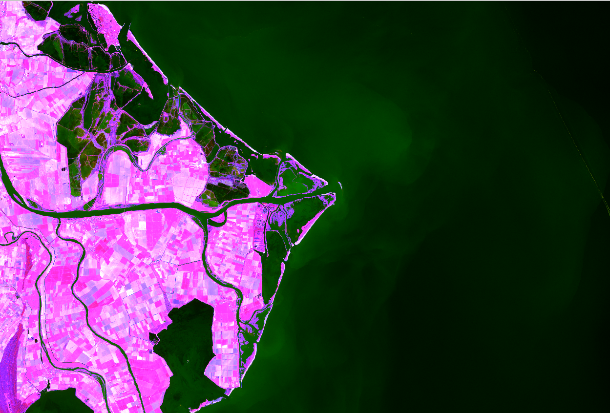
The research concerns the elaboration of multispectral and multiresolution satellite image time stacks for applications supporting precision agriculture and forestry, as well as for the analysis of environmental phenomena related to climate change, disaster and emergency management. This research activity is based on both classical and artificial intelligence algorithms and integration/fusion with data from ground-based sensors (including data collected from users). It also deals with the integrated use of SAR images and GNSS observations for meteorological applications and the implementation of web platforms for EO data management – in terms of on-line visualization and processing. Finally, a relevant research concerns the new world map of high-resolution land cover.