- This event has passed.
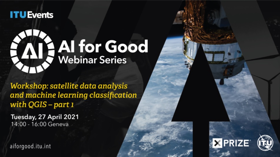
Workshop: Satellite Data Analysis and Machine Learning Classification with QGIS – Part 1
27 April 2021 @ 14:00 - 16:00

The workshop organized by AI for Good Global Summit and ITU Events will see the participation of prof. Maria Antonia Brovelli of geographic Information Systems and Digital Mapping and Gorica Bratic, research fellow, both from the Department of Civil and Environmental Engineering.
The event introduces how classification of satellite imagery can be done with QGIS by showing how to retrieve, process and classify satellite imagery, as well as how to assess performance of machine learning algorithms through error matrix and accuracy indexes.
The workshop has two parts:
Part 1: 27 April 2021, 14:00 – 16:00 CEST
Part 2: 11 May 2021, 14:00 – 16:00 CEST
