Privacy Overview
This website uses cookies to improve your experience while you navigate through the website. Out of these, the cookies that are categorized as necessary are stored on your browser as they are essential for the working of basic functionalities of the website. We also use third-party cookies that help us analyze and understand how you use this website. These cookies will be stored in your browser only with your consent. You also have the option to opt-out of these cookies. But opting out of some of these cookies may affect your browsing experience.
Sempre attivi
Necessary cookies are absolutely essential for the website to function properly. These cookies ensure basic functionalities and security features of the website, anonymously.
Functional cookies help to perform certain functionalities like sharing the content of the website on social media platforms, collect feedbacks, and other third-party features.

Nessun cookie da visualizzare.

Performance cookies are used to understand and analyze the key performance indexes of the website which helps in delivering a better user experience for the visitors.

Nessun cookie da visualizzare.

Analytical cookies are used to understand how visitors interact with the website. These cookies help provide information on metrics the number of visitors, bounce rate, traffic source, etc.
Advertisement cookies are used to provide visitors with relevant ads and marketing campaigns. These cookies track visitors across websites and collect information to provide customized ads.

Nessun cookie da visualizzare.

Other uncategorized cookies are those that are being analyzed and have not been classified into a category as yet.

Nessun cookie da visualizzare.

Dipartimento di
Ingegneria Civile e Ambientale

Caricamento Eventi

« Tutti gli Eventi

  • Questo evento è passato.

Workshop: Satellite Data Analysis and Machine Learning Classification with QGIS – Part 1

27 Aprile 2021 @ 14:00 - 16:00
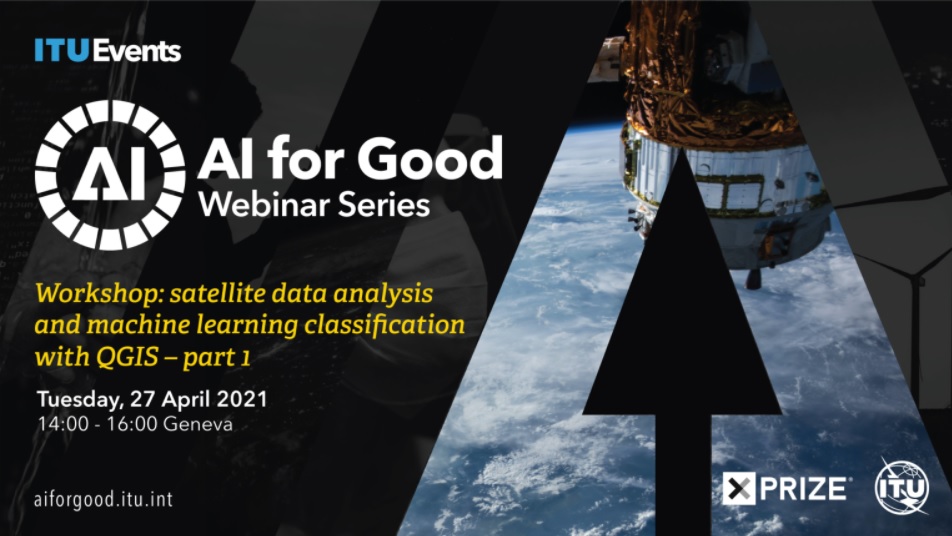
Il workshop, organizzato da AI for Good Global Summit e ITU Events, vedrà la partecipazione della prof.ssa Maria Antonia Brovelli – specializzata in Sistemi Informatici geografici e Digital Mapping – e l’assegnista Gorica Bratic, entrambe del Dipartimento di Ingegneria Civile e Ambientale.

L’evento introduce come può essere fatta la classificazione di immagini da satellite usando QGIS e mostrando come recuperare, elaborare e classificare le immagini satellitari, nonché come valutare le prestazioni degli algoritmi di apprendimento automatico attraverso la matrice di errore e gli indici dii precisione.

Il workshop prevede due incontri:

Parte 1: 27 Aprile, 14:00 – 16:00

Parte 2: 11 Maggio, 14:00-16:00