- Questo evento è passato.
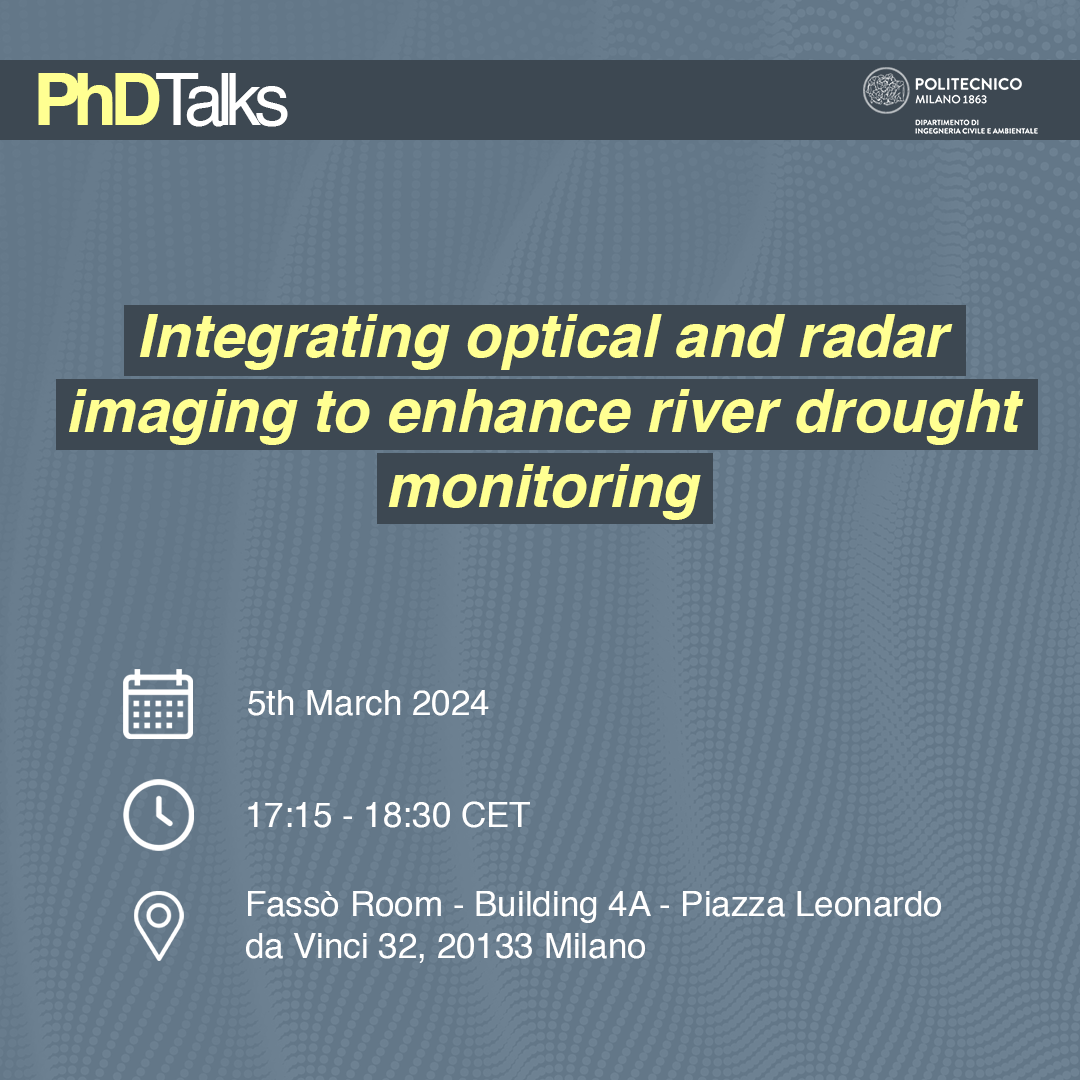
PhDTalks | Integrating optical and radar imaging to enhance river drought monitoring
5 Marzo 2024 @ 17:15 - 18:30

Il prossimo appuntamento con la serie di incontri PhDTalks si terrà Martedì 5 marzo nell’aula Fassò (Edificio 4A), dalle 17:15 alle 18:30 CET.
PhDTalks è una serie di seminari e discussioni tra dottorandi. Gli eventi hanno lo scopo di fornire un luogo dove creare un network tra dottorandi ed entrare in contatto con i molti progetti sviluppati nel nostro dipartimento.
Lo speaker Stefano Conversi condurrà un seminario dal titolo “Integrating optical and radar imaging to enhance river drought monitoring”.
Al termine dell’evento sarà disponibile un piccolo rinfresco finanziato dal dipartimento.
Sarà possibile seguire la conferenza anche online al seguente link.
Abstract
Drought events are growingly affecting European and Italian territories, hampering local environments and biodiversity, such as the ones relying on rivers for their subsistence. Monitoring of rivers is becoming an important issue to face drought crisis and may be exploited with different tools. Among the most commons, satellite imagery is exploited to map water coverage, basing on optical or radar sources. This work proposes a combination of the two sensors to overcome possible limitations of the single dataset exploitation, reaching a reliable result. The methodology is applied to a stretch of Po River in Lombardy region (Italy). Through Google Earth Engine platform, optical satellite Sentinel-2 and radar satellite Sentinel-1 data are processed. The combination of the radar data and of the optical spectral indices is carried out through a pixel-based supervised classification, with a Random Forest classifier. Maps of water coverage are obtained, numerical outcomes of water surface evaluation are recorded and validated by the mean of reference hydrometric data. A multitemporal analysis is then reported, aiming to prove the efficiency of the procedure. All iterations show reliable accuracies and correlation among water surface estimation and water table measurements in two sections of interest. In perspective, the proposed methodology will be implemented in tools for supporting drought monitoring to be integrated in environmental public administration policies.
Speaker’s bio
Stefano is a PhD Student in Environmental and Infrastructure Engineering, within the Geodesy and Geomatics section. In 2021 he obtained the Master degree in Civil Engineering for Risk Mitigation at Politecnico di Milano. Currently he is part of the Innovazione project supported by Politecnico and Regione Lombardia, for which he collaborates with the Operative Unit for management and preservation of Biodiversity.D Stefano likes to spend his free time travelling, attending live concerts and baking.
